Vilas County is a paddling paradise, boasting more than a thousand lakes and hundreds of miles of rivers—including the iconic Wisconsin River, which gets its start in the northeastern part of the county between Phelps and Land O’ Lakes. Planning a canoeing or kayaking trip? Here are a few ideas on where to go.
Wisconsin River
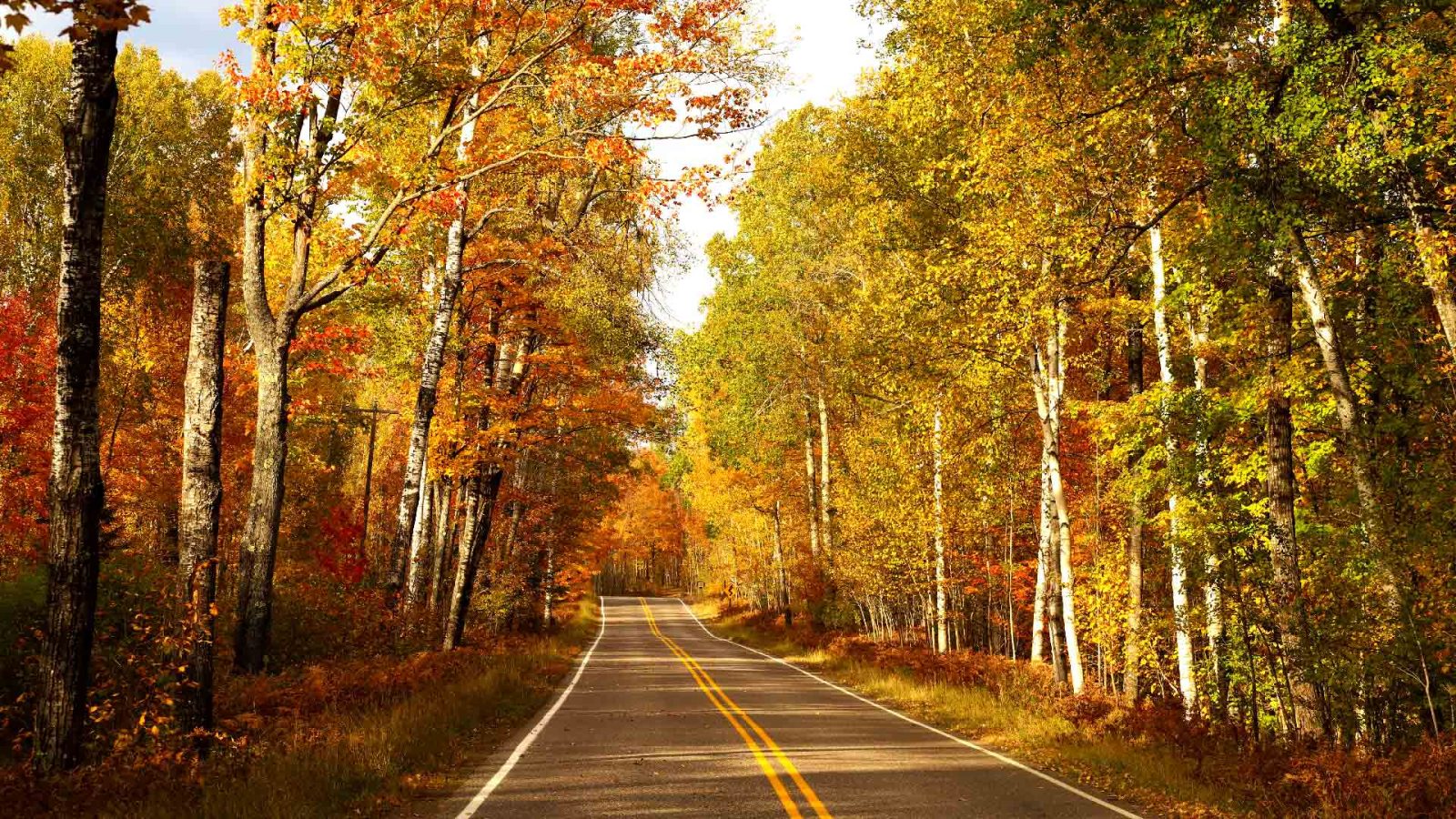
The Wisconsin River starts in far northern Vilas County as it flows out of Lac Vieux Desert between Phelps and Land O’ Lakes. As the river slices its way through the county, it offers some great Northwoods paddling for canoers and kayakers. Suggested trips include:
- Headwaters to U.S. Highway 45 south of Land O’ Lakes: 5 miles
- Rummels Road to County Highway K in Conover: 6 miles
- Otter Rapids Dam west of Eagle River to Highway O in St. Germain: 7 miles
Find more details about these routes, which are part of the Wisconsin River Centennial Trail, here.
See more information about long-haul routes on the river here:
Manitowish River
Near Boulder Junction, the Manitowish River gets its start at High Lake, flowing west for more than 40 miles before reaching the Turtle Flambeau Flowage. There are several paddling routes on the river that are part of the Northern Highland-American Legion (NHAL) State Forest’s official paddling routes, including:
- Trip #1: High Lake to Fishtrap Dam (7.5 miles, 4 hours)
- Trip #2: Fishtrap Dam (6.1 miles, 3 hours)
- Trip #3: Highway K to Highway 51 (15.5 miles, 8 hours; for a shorter 4-hour trip, take out at Island Lake)
- Trip #5: White Sand Lake to Manitowish Lake (22.8 miles, 12 hours; multi-day trip)
There are several campsites along the route for the multi-day trips. See the NHAL paddling map here.
Maps for these water trails can be found on the Map It Vilas County trails app, which is free to download for Apple and Android devices.
The NHAL also has dozens of non-motor or electric motor only lakes that offer a calmer paddling experience—find more information here.
Guido Rahr Sr. Tenderfoot Forest Preserve Trail
This 971-acre preserve near Presque Isle on the Wisconsin-Upper Michigan Border is managed by the Nature Conservancy and can be reached via a combination land and water trail. Access to the hiking trail around Mirror Lake is available via a paddling route on Palmer Lake and Tenderfoot Lake (put in at the Palmer Lake boat landing). The trail is open from ice-out (April/May) through November for hiking, birdwatching, fishing, and other low-impact recreation.